Implementation: April 2014
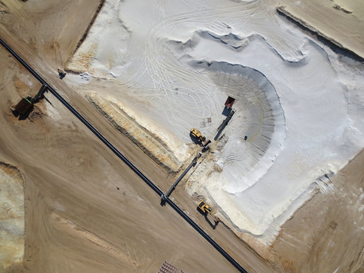
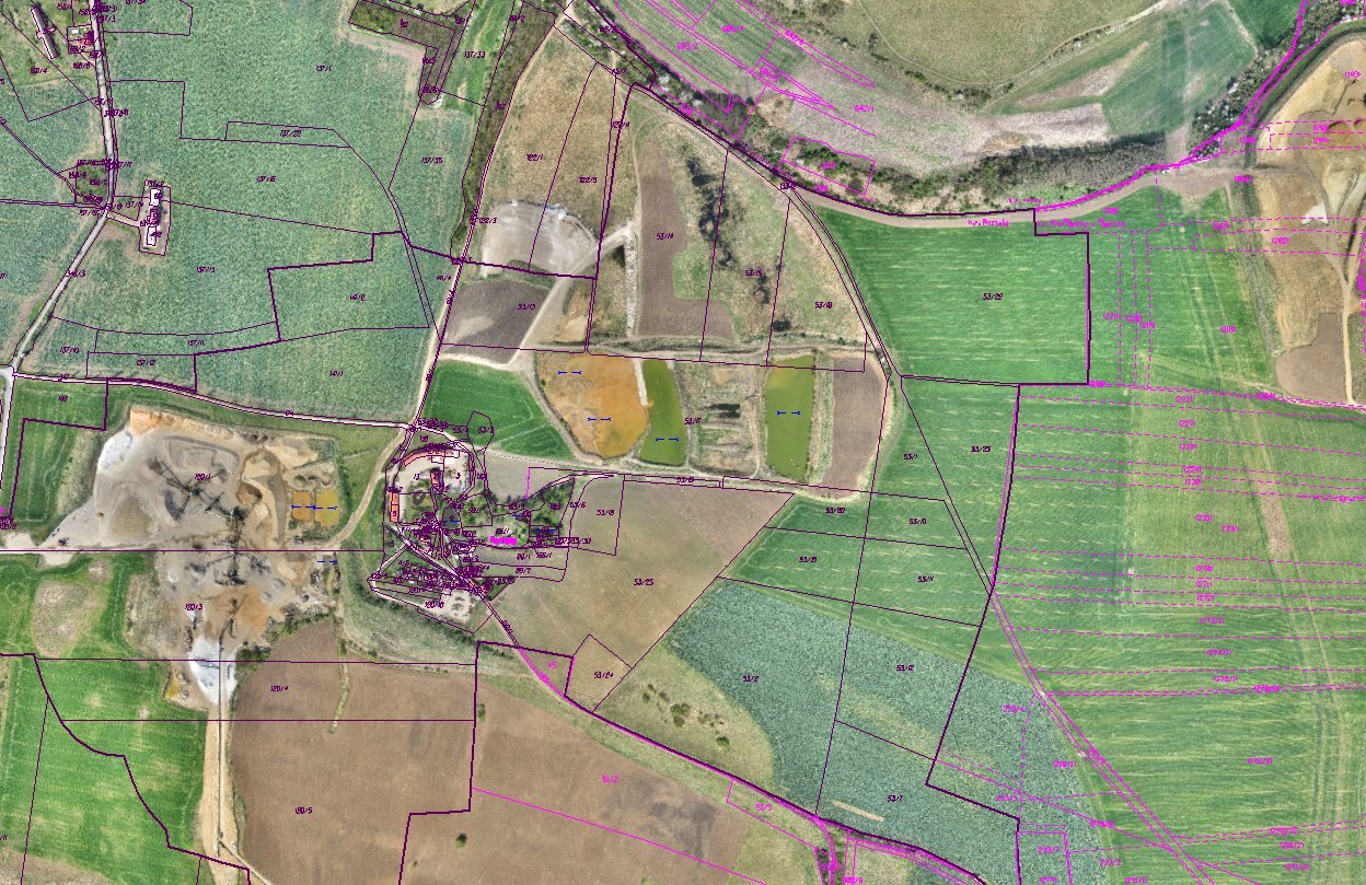
Aerial photography of a sandpit and its surroundings with a total area of 5.2 km² was performed using UAV system at a resolution of 3 cm/px. Then the orthophotomap of the area of interest was created.
Fill in the fields marked * is obligatory.